514 236 5515

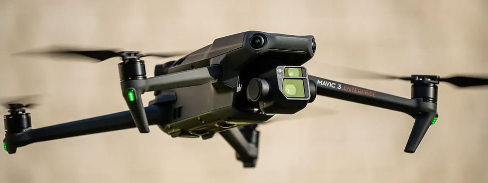
At CC Drone, we provide professionals across various industries with high-resolution aerial data, enabling them to make faster, smarter, and more efficient decisions. Using cutting-edge drone technology and software, we deliver precise 2D and 3D mapping solutions tailored to the needs of each project.
We also capture field and building videos for marketing purposes, to enhance your sites and strengthen your visual communication.
PROFESSIONAL QUALITY AERIAL IMAGES
CCDrone.ca specializes in capturing high-quality aerial images using drones equipped with high-precision cameras. We transform these images into detailed 2D and 3D digital models using specialized software, providing a fast, safe, and cost-effective solution for obtaining precise data on areas that are difficult to access or require a comprehensive view.

WE CAPTURE IMAGES FROM ABOVE
NEW PHOTOGRAPHY OPPORTUNITIES
THANKS TO DRONES
CCDrone.ca specializes in drone photogrammetry, using drones equipped with high-precision cameras to capture aerial images. These images are then transformed into detailed 2D and 3D digital models using specialized software. This approach offers a fast, safe, and cost-effective way to obtain precise data on areas that are difficult to access or require a comprehensive view. The company's target audience includes the construction and infrastructure sectors, roof and building inspection and preventative maintenance, and golf courses. CCDrone.ca aims to meet a variety of needs with its drone photogrammetry services.