514 236 5515
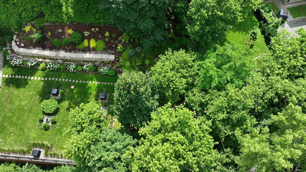
Drone photogrammetry involves using drones equipped with high-precision cameras to capture aerial images. These images are then transformed into detailed 2D and 3D digital models using specialized software. This approach offers a fast, safe, and cost-effective way to obtain accurate data on areas that are difficult to access or require a comprehensive view.


Technology
Our pilots hold advanced certification from Transport Canada, ensuring compliant, safe and efficient operations, even in complex environments.
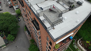
We use high-performance DJI professional drones equipped with precision sensors. Using DroneDeploy's advanced photogrammetry software, we transform captured images into detailed 2D and 3D models, perfectly tailored to the specific needs of each project.


